Aaron Brutes Level Iron Mine (United Kingdom)
Aaron Brutes Level
Drainage adit, tramway and ironstone level.
Photos of Aaron Brutes Level Iron Mine
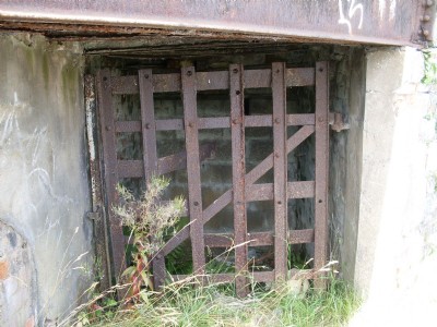
Photographs Of Aaron Brutes Level
(2 photos)
Last updated August 3rd 2010 by
lipsi

Historic Photographs Of Aaron Brutes Level
(0 photos)
Last updated August 3rd 2010 by
lipsi
Google Earth Map of Aaron Brutes Level Iron Mine
Other location/mapping information:
Latitude: 51.7732491853466
Longitude: -3.09147425216158
Landranger grid reference: SO247089
Easting: 324700
Northing: 208900